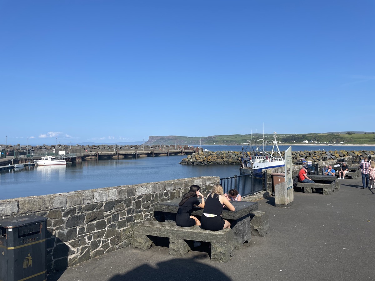
Ballycastle sits at the eastern end of the Causeway Coastal Route, about 19 miles east of Coleraine and 47 miles north of Belfast, where the Nine Glens of Antrim meet the sea. It’s a working harbour town of around 5,000 people, and the departure point for the Rathlin Island ferry.
The Ould Lammas Fair
Ballycastle’s biggest event by far, and one of Ireland’s oldest fairs, dating back over 400 years to the early 1600s as a harvest gathering for farmers, fishermen, and traders. Held every year on the last Monday and Tuesday of August, it now draws upwards of 200,000 visitors across the two days, with hundreds of stalls selling crafts, produce, and the fair’s two signature treats: dulse (dried edible seaweed) and yellowman (a hard, honeycomb-like toffee broken up with a hammer). There’s also a horse-trading element that goes back generations.
Marconi in Ballycastle
In the summer of 1898, engineers from Guglielmo Marconi’s wireless telegraph company — Marconi himself visited only briefly — set up equipment in Ballycastle and on the Rathlin Island lighthouse across the water, working for Lloyd’s of London on ship-to-shore communication. On 6 July 1898 they sent one of the world’s earliest commercial wireless signals across that stretch of water, reporting a yacht race back to shore. A memorial in the town marks the spot.
The beach and harbour
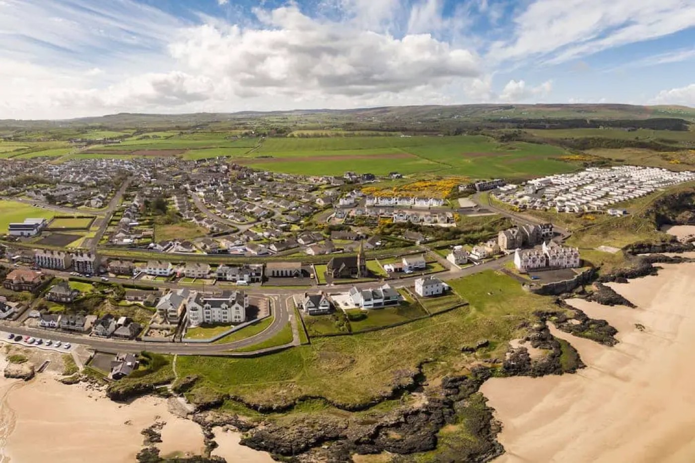
Ballycastle Beach is Blue Flag rated, just under a mile long, and looks out to Rathlin Island and the Mull of Kintyre in Scotland. It’s a genuine town beach — good for swimming and watersports, no seasonal lifeguard cover, and busiest in summer. The western end runs from the marina along a landscaped seafront to a footbridge over the Glenshesk River; the eastern end finishes at Pans Rocks, named for the salt pans once worked there, now popular with anglers and rock climbers.
The marina, one of only two Blue Flag marinas in Northern Ireland, opened in 1999 inside the old harbour and has 74 berths, along with toilets, parking, and the town’s Visitor Information Centre.
Rathlin Island
The Rathlin Island Ferry runs from Ballycastle harbour to Northern Ireland’s only inhabited offshore island — home to just over 100 people, a seabird colony with puffins, guillemots, and razorbills in season, and some of the best views on the coast back toward the mainland.
History and heritage
Ballycastle’s Irish name, Baile an Chaistil, means “town of the castle.” More than 50 buildings in the town centre sit within an 18th-century conservation area, including the Georgian Holy Trinity Church (1752–56) behind the Diamond, and the Market House (around 1830). Hugh Boyd drove much of the town’s 18th-century growth, developing the harbour and local industries including coal mining and glassmaking.
Just outside town, Bonamargy Friary (founded 1485) is the burial place of several Earls of Antrim and the Ulster chieftain Sorley Boy MacDonnell, and sits right at the edge of Ballycastle Golf Club. Five kilometres along the coast toward Ballintoy, the ruined Kinbane Castle — built in 1547 by Colla MacDonnell — perches on a headland above the sea.
Behind the town, Fair Head rises 636 feet straight out of the bay, a serious rock-climbing spot and a National Trust property with wide views to Rathlin and Scotland. Further inland, Knocklayde mountain (1,695 feet) gives some of the best panoramic views on this stretch of coast.
Staying in Ballycastle
The town has hotels including the Marine and the Salthouse, plus B&Bs, guesthouses, and self-catering options, all within easy reach of the beach, harbour, and town centre. It’s a solid base for exploring the eastern end of the Causeway Coast — Fair Head, Rathlin, and Ballintoy are all close, and the Giant’s Causeway and Carrick-a-Rede are a manageable drive west.